Thermography - Thermal imaging with drones
We create thermal images using drones and modern thermal imaging cameras throughout Switzerland.
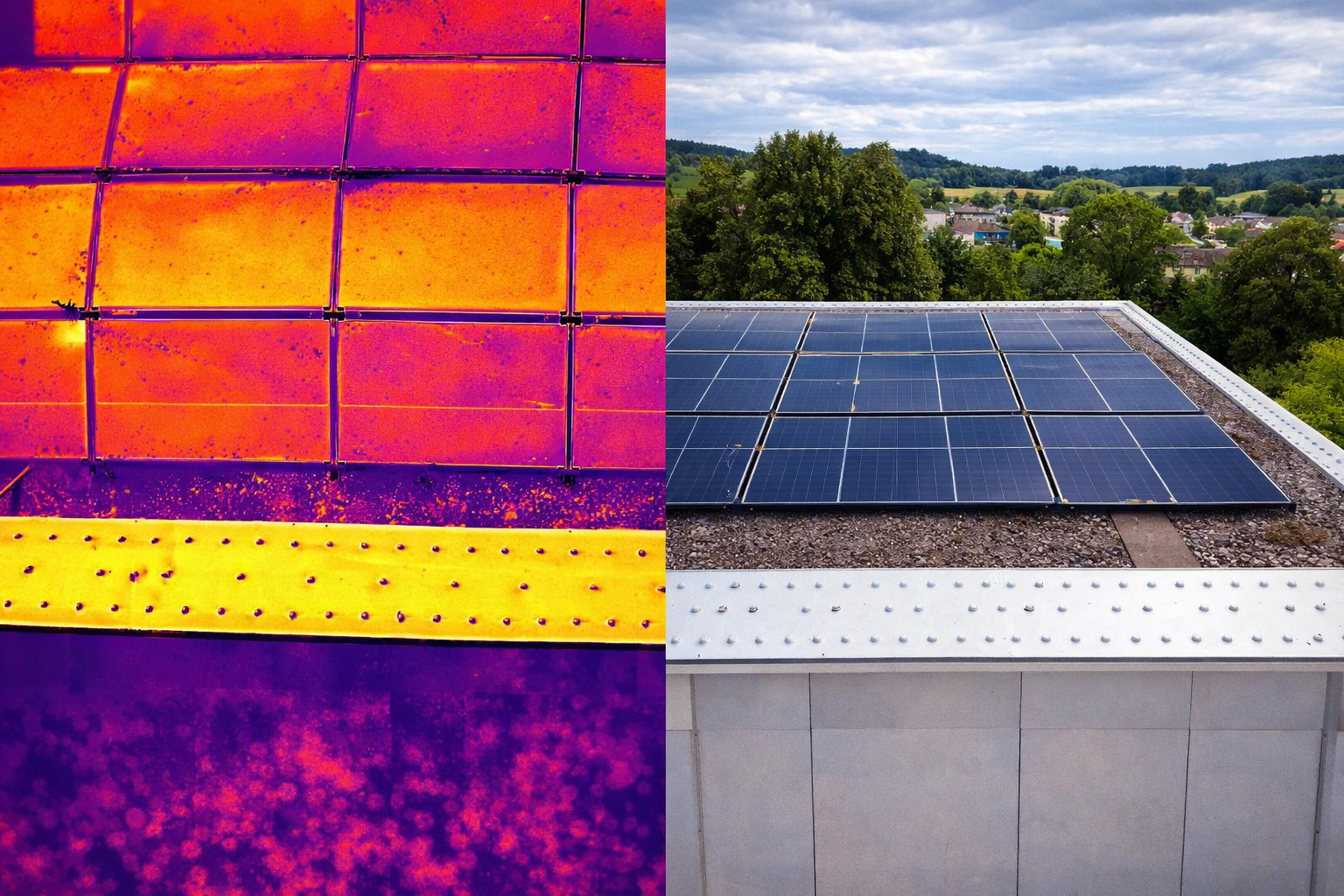
With our thermal imaging camera drone, we detect temperature differences from the air and make areas visible that are not detectable to the human eye.
Our thermal imaging service is used, among other things, to inspect photovoltaic systems, check building envelopes and roofs, and inspect technical installations from the air.
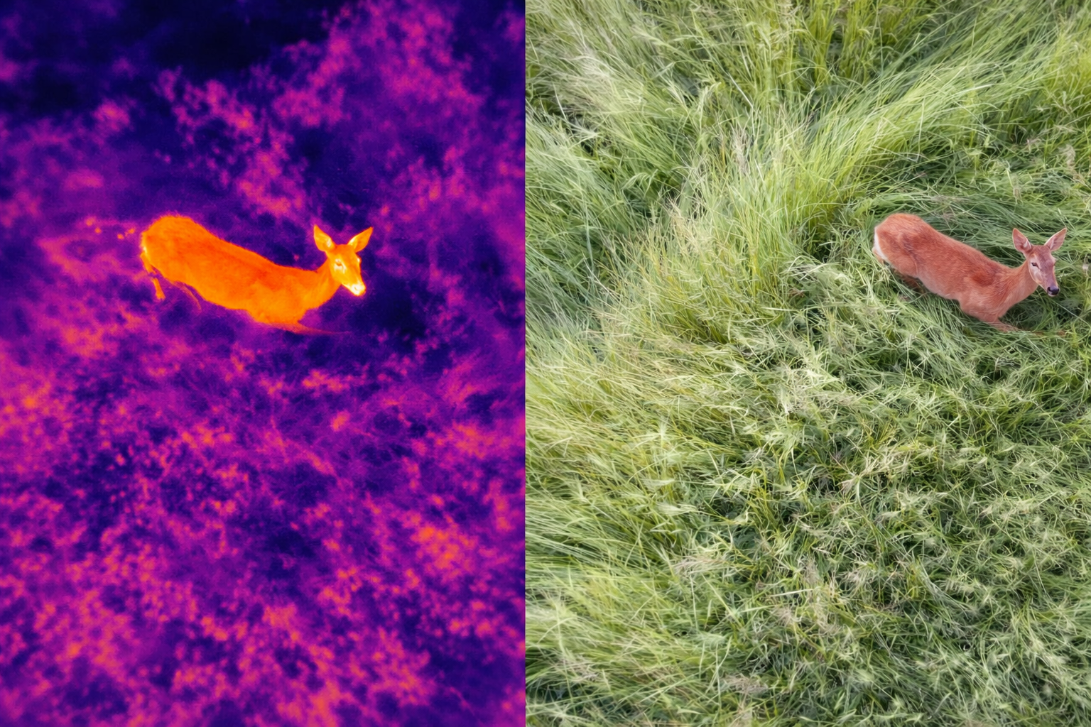
We also support operations in the areas of fawn rescue, wildlife rescue, search and rescue, and applications for fire departments and security organizations.
As a specialized drone service provider, we take care of professional data collection, structured processing of thermal imaging data, and a practical initial assessment of the images.
This provides you with meaningful thermal images quickly and efficiently as a basis for further decisions.
In addition, we are certified by the FOCA, which allows us to work with virtually any common drone technology at almost any location in a fully legal and insured manner without restrictions. This enables us to carry out the recordings quickly and flexibly without having to wait for permit applications.
Brief overview of the technology used:
• Radiometric FLIR thermal imaging camera (640 × 512 px)
• Temperature measurement per pixel (exact temperature values)
• Temperature range: approx. -20 °C to +550 °C
• High-resolution RGB camera (48 MP) for visual reference
• Combination of thermal image + visible image for precise localization of defects
• Precise detection of hotspots
• Suitable for steep roofs (even with a roof pitch of approx. 60°)