3D surveying using photogrammetry & point clouds
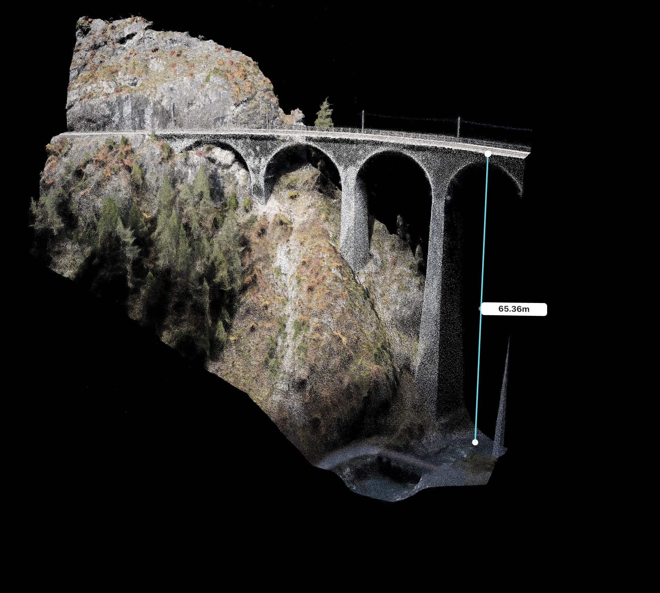
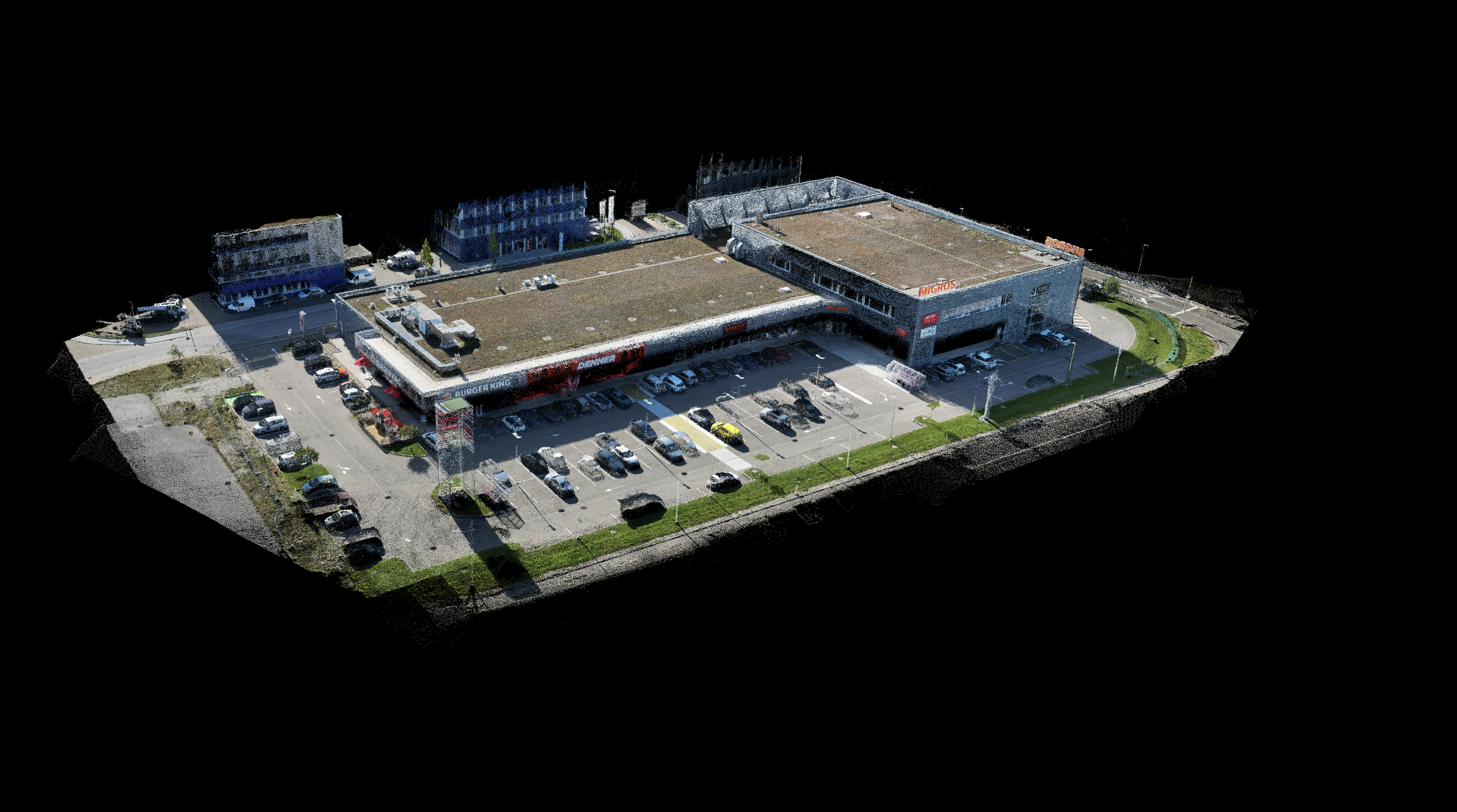
Drone-based photogrammetry enables precise and efficient surveying of existing and project areas. High-resolution aerial images are used to create metrically accurate 3D models, orthophotos, and digital terrain models that serve as a reliable planning basis for architectural and engineering projects.
Even complex or hard-to-access areas can be captured contactlessly, securely, and in great detail. The point clouds and models obtained are CAD- and BIM-compatible and support informed decisions in planning, execution, and inventory recording.
Unlimited areas of application for photogrammetry
Drone-based photogrammetry and point clouds provide accurate, location-specific inventory data for a wide range of technical and planning applications. The captured 3D models, orthophotos, and terrain data serve as a reliable basis for analysis, planning, documentation, surveying, and decision-making processes.
Typical areas of application include architecture and monument preservation, urban and spatial planning, landscape architecture, and engineering and infrastructure projects. Photogrammetry is also used for competitions, archaeological documentation, disaster control, forensics, and for visualizations in public relations, tourism, and communication.
Thanks to its high geometric accuracy, contactless data capture, and direct processing in CAD and BIM systems, the method is suitable for design as well as inventory recording, monitoring, and re-measurement.
Key technical data for data acquisition
High-resolution image sensor technology (40 MP) for detailed photogrammetry
High image overlap for dense, consistent point clouds
RTK-based positioning for precise georeferencing
Results accurate to the centimeter (project-specific depending on flight altitude and GCPs)
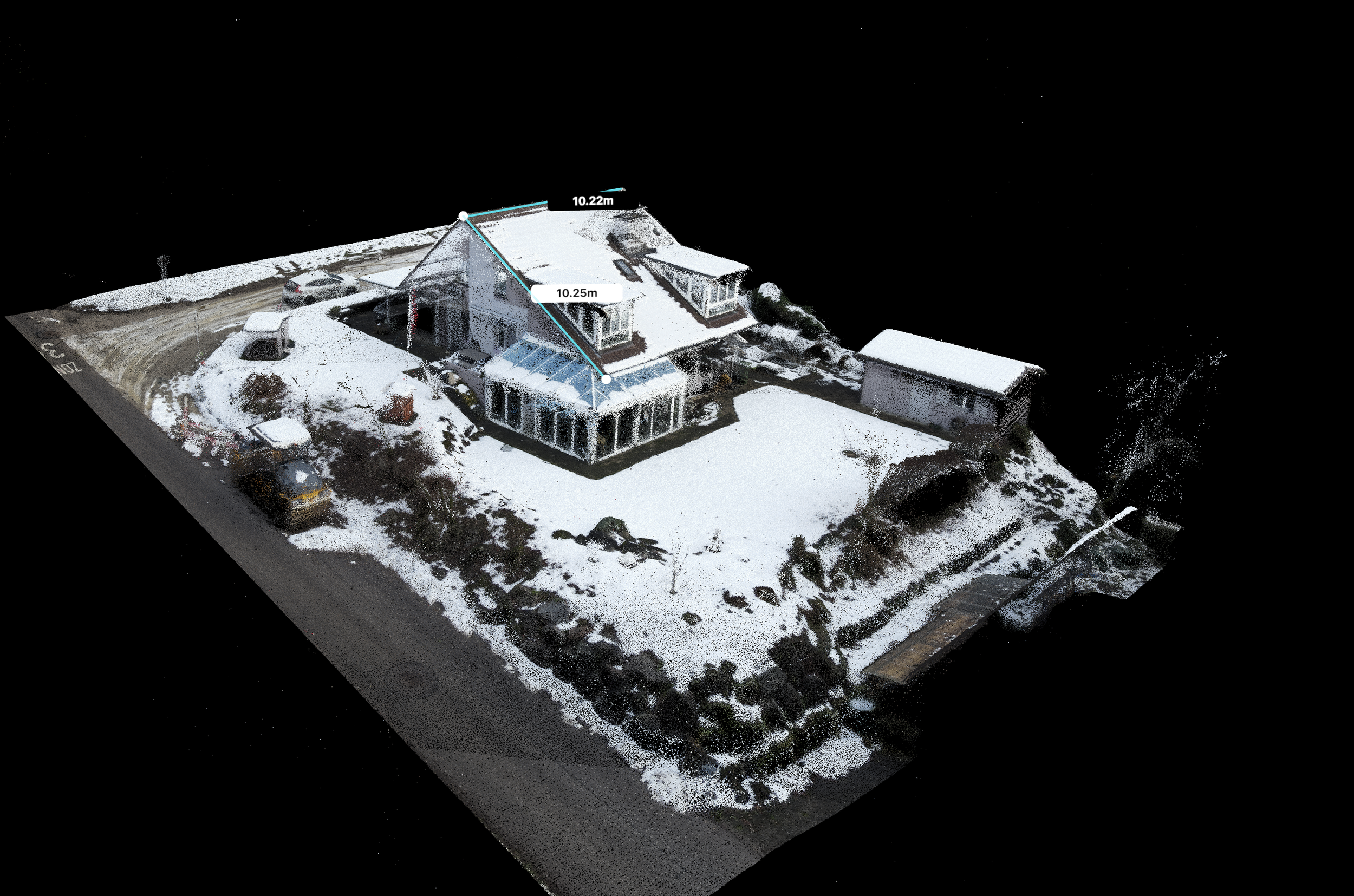
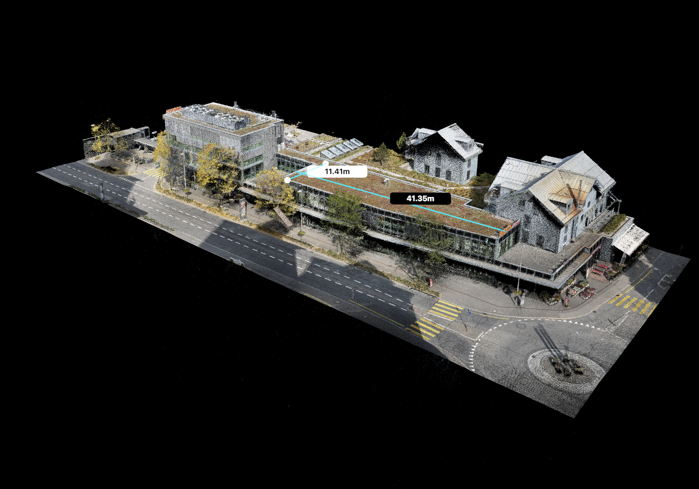
Point clouds can be converted into detailed 2D plans (e.g., in DWG format) as well as into 3D models for CAD software. This results in both precise 2D drawings such as floor plans or sections and fully-fledged 3D models. This documentation contains all relevant information and can be used immediately for construction, renovation, or surveying purposes.