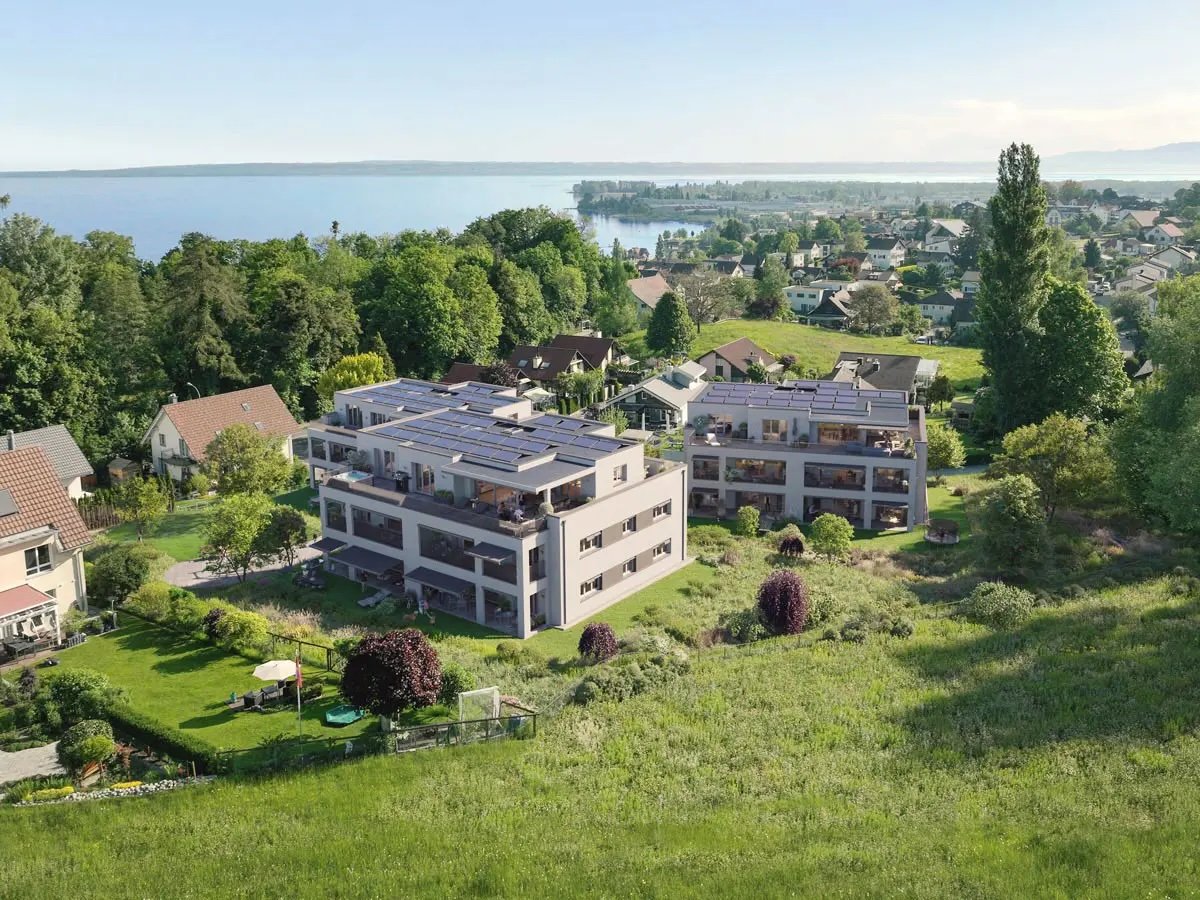
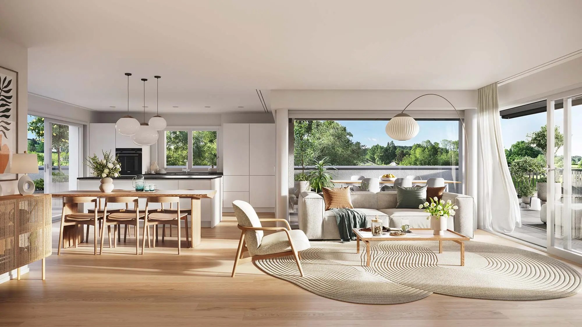
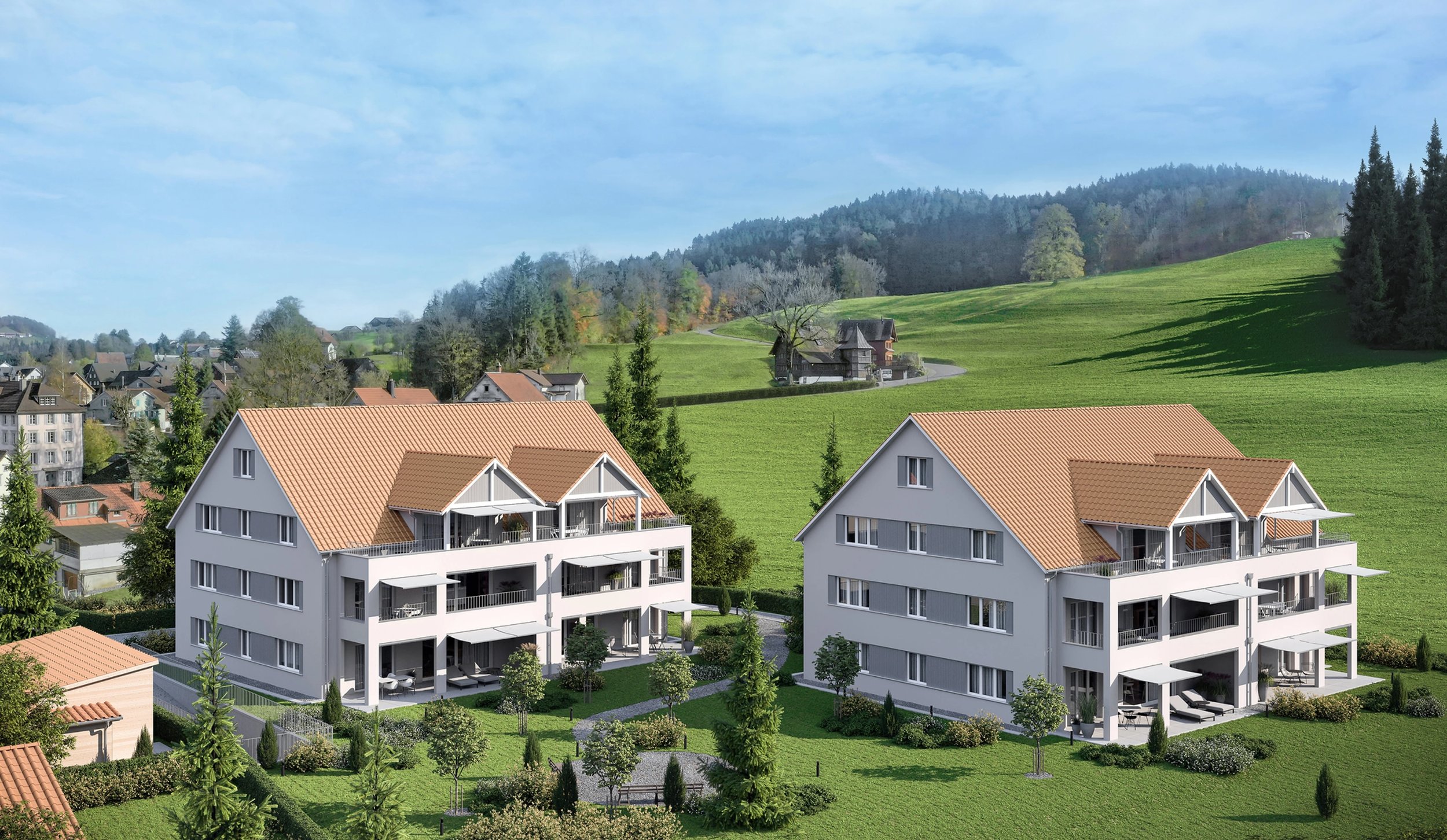
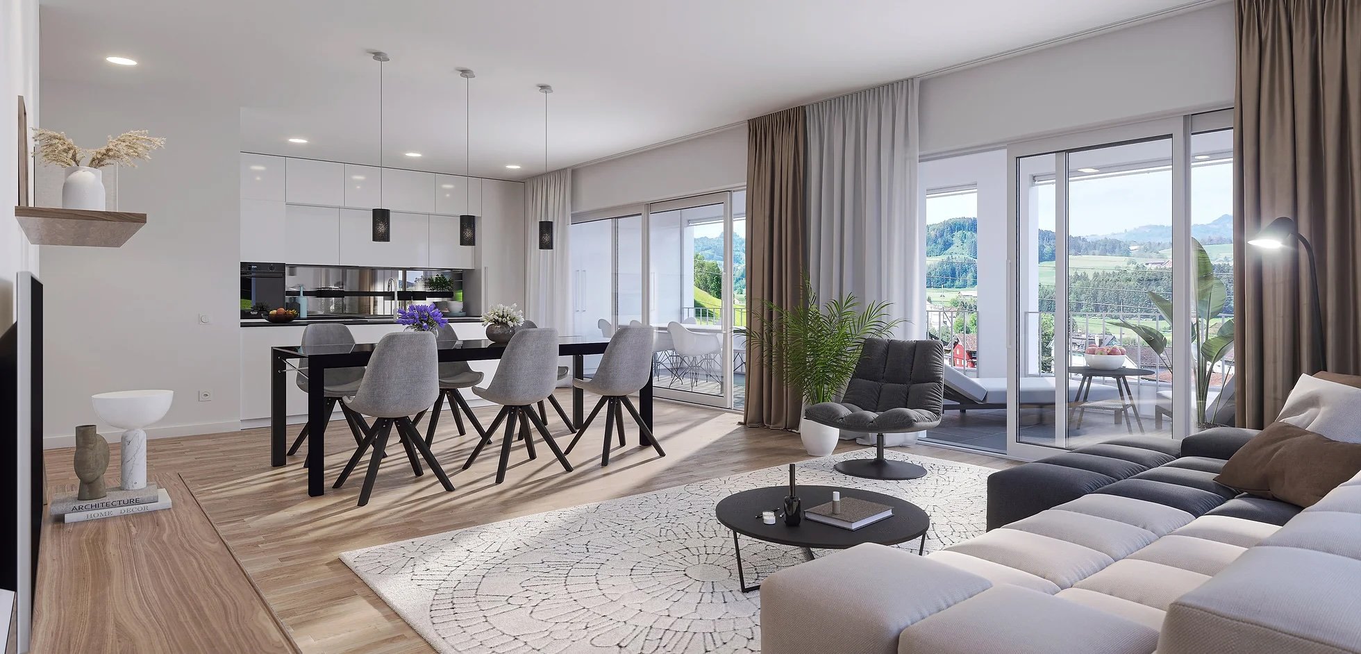
Visualization & floor view
Our drone service provides realistic floor-level views for architects, visualization firms, developers, and design firms. Using state-of-the-art drone technology, we capture crystal-clear images with resolutions of up to 45 MP. These precise images not only provide an accurate preview of the view from each floor but can also be seamlessly integrated into computer-generated 3D visualizations. Perfect for high-rises, office buildings, and residential projects, our images are the ideal foundation for visualizing your designs in a realistic way.
We are also certified by the FOCA, which allows us to work with any drone technology at all locations, fully legally and insured without restriction. This means that we can implement the recordings quickly and flexibly and do not have to resort to consumer technology with interpolated images and small image recording sensors.